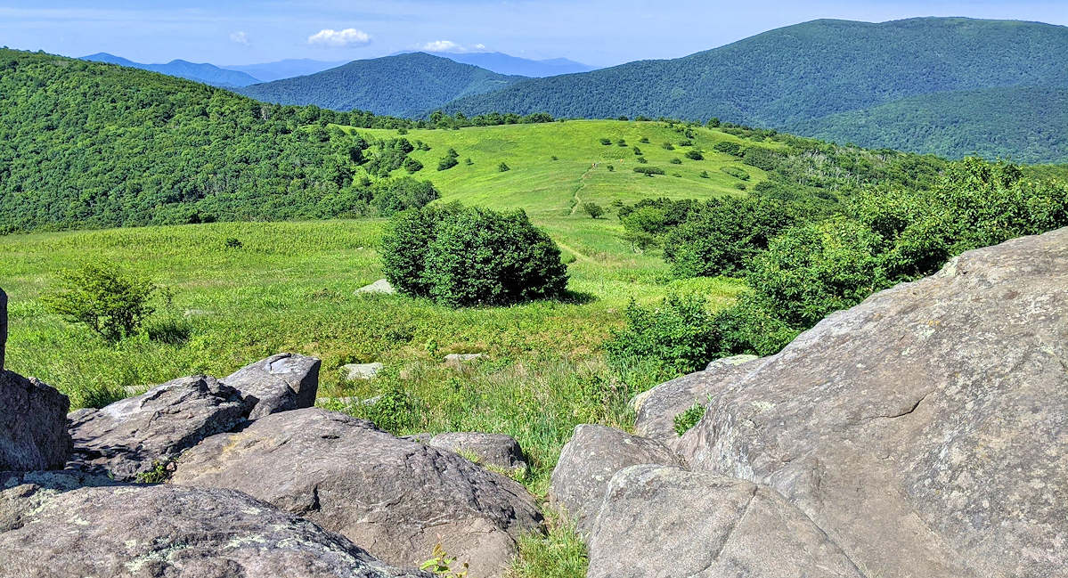
Looking for a spectacular day hike on the Appalachian Trail near Sugar Mountain? Our top pick is a trek to Little Hump (5 miles roundtrip) or Big Hump (9 miles roundtrip). These peaks are part of the popular Roan Highlands in Pisgah National Forest, but they have significantly fewer hikers than AT section south toward Carver’s Gap. This hike begins at the Yellow Mountain Gap trailhead, located about 22 miles from the entrance of Sugar Mountain.
These “humps” are similar in appearance and elevation. Both are grassy bald summits with meadows of wildflowers and panoramic views (think Sound of Music). They are at the north end of the 20-mile section of the Appalachian Trail through the Roan Highlands. Watch the weather and head out on a sunny day. Often clouds cover these summits due to the high elevation.
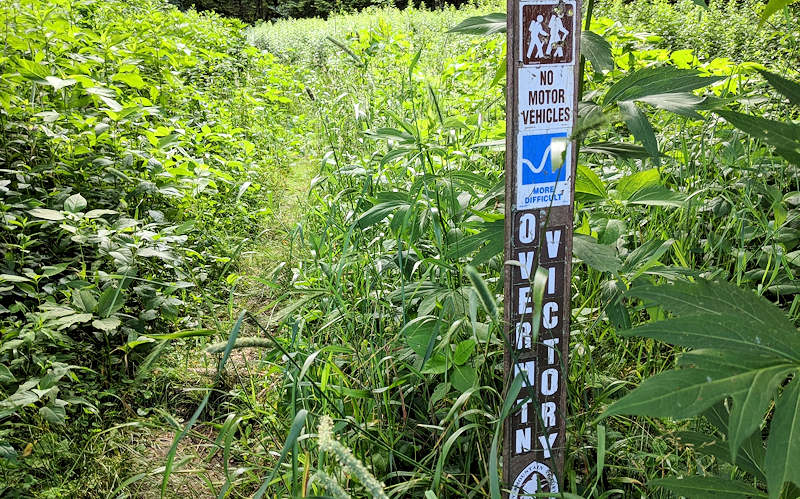
From the parking area at the end of Roaring Creek Road (see directions below), you will hike a 3/4 of a mile section of the famed Overmountain Victory National Historic Trail. It begins across the road from parking area – sometimes a little overgrown. It traces the route used by patriot militia during the pivotal Kings Mountain campaign of 1780 of the Revolutionary War. The first part of the trail may be a little overgrown, but it improves quickly.
You’ll hike up the ridge through a dense forest at a gradual grade, reaching Yellow Mountain Gap at the intersection of the Appalachian Trail. You begin at 4,200 feet elevation and climb to 4,682 feet at the gap.
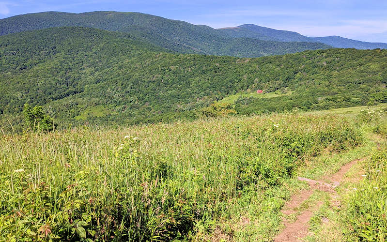
Turn right onto the Appalachian Trail. You will soon be rewarded with panoramic views – overlooking the “Barn”, the popular Overmountain Shelter on the AT. Then you continue into the forest for another gradual climb.
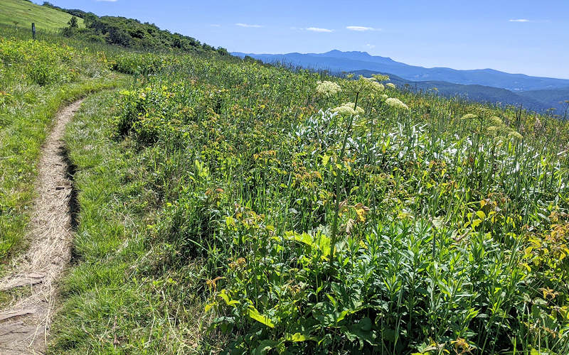
The summit of Little Hump (elevation 5,440 ft) is about 1.8 miles from Yellow Mountain Gap. Enjoy the panoramic views of Little Hump and return for a 5-mile roundtrip hike. Take a picnic and allow plenty of time to admire the views.
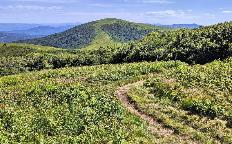
If you have plenty of time and energy, continue two more miles to Big Hump (elevation 5,587 ft). The section is more strenuous since you descend about 500 ft elevation before a steep uphill hike to the summit. Photo above: Big Hump view from Little Hump.
Directions from Sugar Mountain
The trailhead is about 22 miles from Sugar Mountain. Allow about 40 minutes to drive. Find the Yellow Mountain Gap Trailhead on Google Maps
- From the main entrance of Sugar Mountain, turn left tonto NC 184. Go 2.7 miles.
- Turn left onto NC 194 at the stoplight in Banner Elk. Go 6.9 miles to stop sign in Elk Park.
- Turn left onto US 19 East. Go 4/10 of a mile.
- Turn right to stay on US 19 East. Go 8.2 miles.
- Turn right on Roaring Creek Road. Go 4.7 miles to end of road. Last section is unpaved. High clearance vehicle or 4-wheel drive is sometimes needed for ruts in the unpaved section. Be careful!
Find more trails! See our Top Hikes & Waterfalls near Sugar Mountain. Also see our hiking guide for Roan Highlands.
