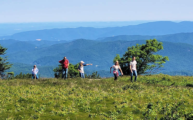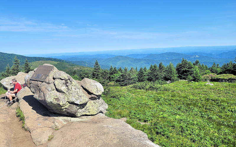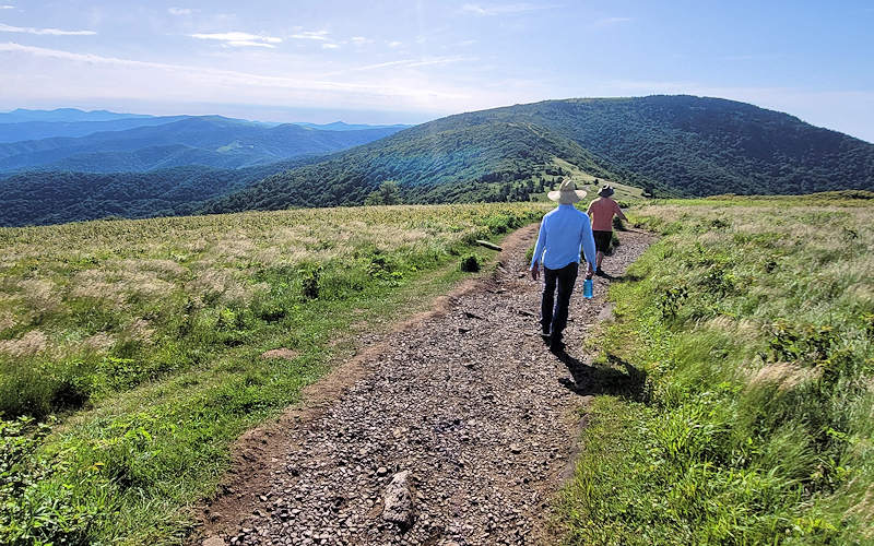
One of the most spectacular hikes in the Blue Ridge Mountains is along the Appalachian Trail through the Roan Highlands, home to miles of lofty grassy balds. As you hike along the ridgeline, you will look far into Tennessee on one side and North Carolina on the other. This area is known for the native rhododendron and azaleas that bloom each June. It’s 29 miles from Sugar Mountain.

On this hike, you can trek across one, two or three summits for a 1.5, 3 or 5 mile round-trip journey. Park at Carver’s Gap (5,500 feet elevation) on the North Carolina / Tennessee state line above the town of Roan Mountain, Tennessee. (Google map link). Cross the road to begin your hike. The first summit, Round Bald, is only 3/4 of a mile, steady uphill climb to an elevation of 5,826 feet. You go through a dense alpine forest before reaching the expansive grasslands with 360-degree views.

The next summit is Jane Bald (elevation 5,807 feet) in an additional 3/4 of a mile. Many folks hike to this point and return to the car for a 3-mile roundtrip. The climb to the top of Jane Bald is a little steeper and rockier than Round Bald. Allow plenty of time for rest stops to gaze at the views all around.

For a 5-mile roundtrip hike to Grassy Ridge Bald (elevation 6,189 feet), continue about a half mile on the Appalachian Trail and look for a side trial to the right. That takes you up a narrow, steep trail (another half mile) through an rhododendron tunnel and meadows. Atop the broad summit, find multiple viewpoints that make excellent picnic spots. Look north to see the Sugar Mountain area, including Grandfather Mountain. Look south and east to Mt. Mitchell and well beyond.

If you complete the full 5-mile roundtrip hike, you will gain a total of about 1,200 feet in elevation.
2025 Rhododendron Festival: June 21 & 22, 2025
Each June, Roan Mountain bursts into bloom during the annual Rhododendron Festival — a two-day celebration of Appalachian culture and natural beauty. Held at Roan Mountain State Park, the festival features traditional music, handmade crafts, regional food, and old-time folkway demonstrations. Learn more

Directions: See Google Maps for Carver’s Gap, located on Tennessee Highway 143 about 12 miles above the town of Roan Mountain.
Some tips
- Arrive in early morning for less crowds and cooler temps on summer days.
- Be prepare for quickly changing weather. Temperatures run about the same as the top of Sugar.
- Often, the ridge is in the clouds. Clouds also often move in and out quickly.
- Do not attempt if storms are in the area.
- During winter months, be prepared for high winds and frigid temperatures.
- Wear sunscreen since you are very exposed and will sunburn quickly especially in the summer.
- Dogs are allowed on leash.
- See our Hiking & Waterfalls Guide for more options!
