If you love to stand atop rock cliffs and gaze at panoramic Blue Ridge Mountain views, hike to two sections of Lost Cove Cliffs in Pisgah National Forest. This hike is just 14 miles from Sugar Mountain in the Wilson Creek Wild and Scenic River Area. You can hike to both Big Lost Cove Cliffs and Little Lost Cove Cliffs with this 5.5-mile trail combo. The trailheads are located 1.5-mile drive from each other.
Big Lost Cove Cliffs #271
The trailhead is easy to find – just measure 1.5 miles on the unpaved National Forest Road #464 (see full driving directions below). The trail is easy to follow and “moderate” in difficulty. You won’t find the crowds here like the more popular trails on the nearby Blue Ridge Parkway.
A small parking area is on the right and the trail begins on the left (by the big sign). You immediately begin a gradual uphill walk, passing through a short overgrown section. Keep going since the trail widens again as soon as you enter the forest. The trail climbs up about 300 feet in elevation before leveling out. Then is descends down about 350 feet. It’s about 2 miles one-way.

While walking a mostly level path through the hardwood and rhododendron forest and around a few of the fallen hemlocks, you gradually begin seeing rock outcroppings. At the first large boulder on the right side of the trail, there is a side trail to the left that takes you to the first small overlook. Return to the trail, turn left and head down the steepest part of the trail. Descend the mountain for probably a half mile to reach the cliffs area.
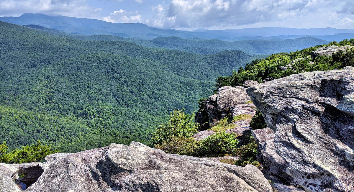
Find plenty of safe areas to walk along the top of the the Big Lost Cove Cliffs that tower 1,000 feet above the valley. Of course, be careful and stay away from the edge.

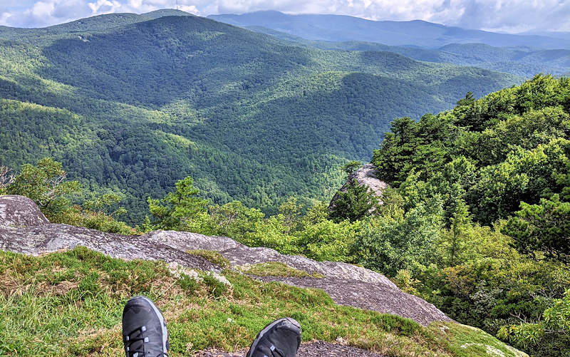
Find a perch to sit and take in the views of Grandfather Mountain, Grandmother Mountain, rolling ridges and rock formations.

As you head back to the car, remember that you must tackle the steepest part of the trail. Take your time and enjoy the woodland treasures along the way in our temperate rain forest.
Ready for another shorter hike to more cliffs? Get back in your car and continue down the road for 1.5 miles to Little Lost Cove Cliffs Trail.

Little Lost Cove Cliffs Trail #217A
This short hike is perfect to add to the 4-mile hike to Big Lost Cove Cliffs or if you are looking for a shorter hike to the cliffs. The 1.3-mile trail starts and ends on the same forest service road with cliffs in the middle. Hike up the ridge about 3/4 of a mile to explore the cliffs and return the same way. A few uphill sections are a bit strenuous, especially if you just completed the other hike.

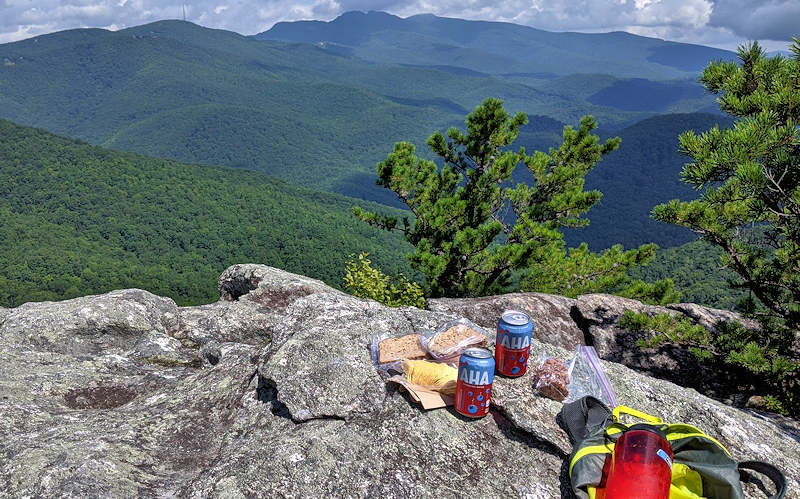
The multiple rock outcroppings create perfect picnic spots. On this day, we started the Big Lost Cove Cliffs around 9 AM and completed it in about two hours. Then we drove to this trail and hiked up for a noontime lunch! It’s all downhill back to the car.
Directions from Sugar Mountain
- From Sugar Mountain Drive, turn right onto NC 184 South.
- At stoplight for NC 105, turn right toward Linville.
- At the next stoplight in Linville, turn right to stay on US 221 South.
- In about a half mile, turn left to stay on US 221 South.
- Go 2.8 miles to Old Jonas Ridge Road. Turn left (at Vaughan’s Nursery sign).
- Drive 3 miles on Old Jonas Ridge Road, mostly paved with an unpaved section after you cross the Blue Ridge Parkway.
- At the Long Ridge Missionary Baptist Church, turn left onto Mortimer Road.
- Drive 1.5 miles to the trailhead on National Forest Road #464. This section is unpaved with bumpy sections – not recommended for low clearance cars.
- Find Big Lost Cove Cliffs Trailhead on Google Maps.
- Find Little Lost Cove Cliffs Trailhead on Google Maps.

Little Lost Cove Cliffs is part of the Harper’s Creek Wilderness Study Area in Pisgah National Forest. Please help keep it wild by carrying out all trash and keeping dogs on a leash.
For more nearby hikes and tips for the trail, go to our Sugar Mountain Hiking Guide.
