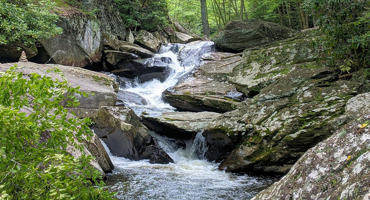
The Boone Fork Trail provides a super scenic 5-mile loop hike at Julian Price Park along the Blue Ridge Parkway – just 12 miles from Sugar Mountain. This trail takes you along and across cascading creeks, through open pastures filled with wildflowers, between large rock boulders and underneath tunnels of rhododendron. Stop by several small waterfalls including Hebron Falls. This is one of top trails in the High Country of North Carolina for its variety.

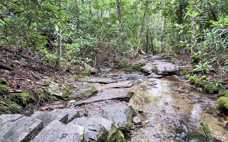
While the trail is not overly strenuous with just a few uphill sections (gains about 500 feet in elevation), it provides a great workout as you negotiate roots, muddy sections and rocks. Wear sturdy hiking shoes! The trail is especially challenging after heavy rain that creates mud and higher water in creeks that you rock hop across many times. Above is one of the creek crossings.
Boone Fork Trail Hike Guide
Start your hike at the Julian Price Park picnic area – just north of the lake overlook and campground entrance (Milepost 296.4). Find plenty of parking. The trail begins near the restroom building. Bring a picnic to enjoy after the hike since there are many picnic tables. The picnic area is open year round, however this section of the Parkway closes often during the winter due to snow and ice.

We suggest hiking the Boone Fork Trail loop clock-wise toward the campground – so bear left at the end connector trail from the parking area. Hiking this direction saves the most scenic sections for the end! The first 1.5 miles of the trail takes you by many campsites and through a meadow and rhododendron thicket. After that, you are following Bee Tree Creek and Boone Fork Creek for much of the way.

Find many places to stop along the way – including plenty of boulders along the rushing streams. You will cross the water many times with easy rock hopping and bridges. As you walk, the water and cascades grow in size. To see the largest cascade (about 25 feet tall), watch for the “Hebron Falls” sign for a short detour to the left – about 3 miles into the hike.

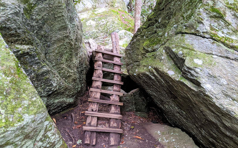
Logs steps and ladders help you navigate the mountainous terrain. It’s a very popular trail, so go early to miss the crowds especially in summer and fall. Julian Price Memorial Park comprises 4,200 acres of rolling mountain land with elevations from 3,400 feet to nearly 4,000 feet. Find other nearby hikes: Price Lake Loop | Green Knob / Sims Pond | Flat Top Trail | Rich Mountain. See our Sugar Mountain Hiking & Waterfall Guide for more trails and hiking tips!
Boone Fork Trail Driving Directions
From Sugar Mountain, Boone Fork Trail is located on the Blue Ridge Parkway Milepost 296.4 at Julian Price Park Picnic Area. It’s part of our 55-mile Blue Ridge Parkway Scenic Loop Drive. The directions below keep you on paved roads (16 miles). If you have a higher clearance vehicle (4 wheel drive not required), you can save 4 miles by taking the unpaved but bumpy Holloway Mountain Road. Details below!
- Find Julian Price Park Picnic Area in Google Maps. NOTE: GPS & Google Maps may direct you to a shorter route via Holloway Mountain Road. It’s unpaved with eroded ruts, so only go this way if you have 4-wheel drive or high clearance vehicle.
- From the main entrance of Sugar Mountain, turn right onto NC 184 South and go 1.5 miles to the stoplight.
- At the stoplight for NC 105, turn left and drive north for 6.4 miles.
- Turn right onto Shulls Mill Road and drive 5.7 miles (paved but curvy) to the Blue Ridge Parkway.
- Follow signs for Blue Ridge Parkway SOUTH and go about 2 miles to the Price Lake Picnic Area on right.
Trail Map

More Things to Do
For more fun, see our big list of Sugar Mountain Area Things to Do. Stay in vacation rental homes and condos in the Village of Sugar for the perfect base camp for days of hiking high in the Blue Ridge Mountains. See our list of lodging choices.
Practice “Leave No Trace” by removing any trash and respecting all plants and wildlife. Read the 7 easy principles.
