
This beautiful park and lake along the Blue Ridge Parkway is just 16 miles from Sugar Mountain – along our suggested Parkway Scenic Loop. Find a variety of things to do including multiple hiking trails, fishing, canoeing, picnics and scenic views from the roadside overlook. The 4,200 acre park was donated to the Parkway by the Julian Price family in the 1940s. It’s located at Milepost 297.

While the Julian Price Memorial Park is open year-round, the Parkway closes during the winter months when there is snow or ice on the road. Before you leave the Sugar Mountain Village, grab some picnic supplies. While the big picnic area is open all year, restrooms close during the winter. The park does not have a visitor center.
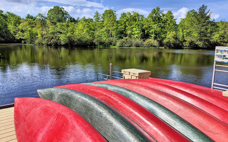
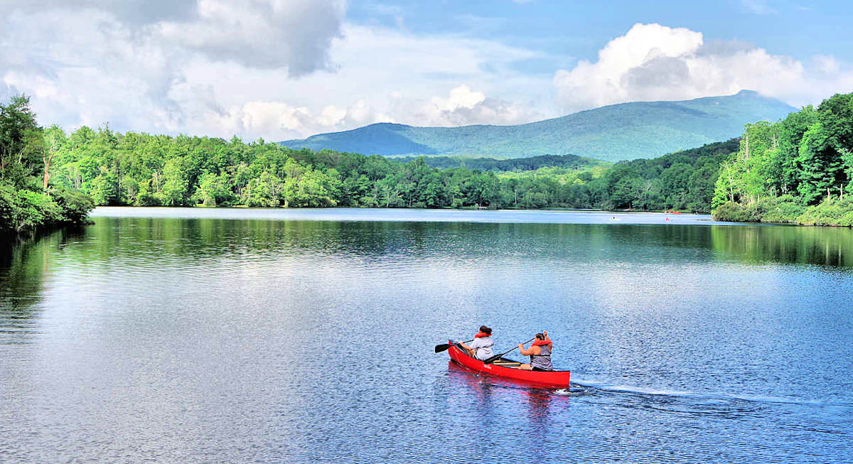
Get out on the lake! Rent a standup paddleboard, canoe or kayak to explore the 47-acre Price Lake (open daily mid May through September and weekends only in April & October). Swimming is not allowed in the lake. Learn more.

Fish from the lake shoreline or from several piers (NC fishing license required). Like other areas along the Blue Ridge Parkway, there is no admission fee. Dogs are allowed on a leash.
Julian Price Park Hiking Trails
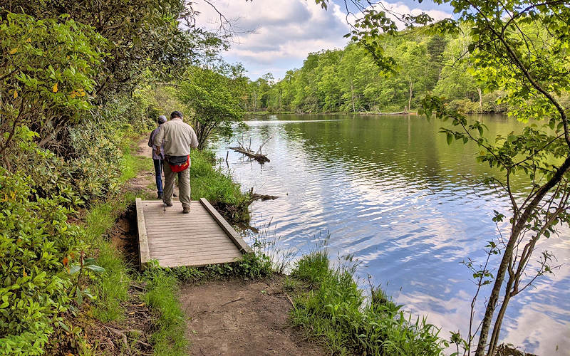
Price Lake Trail is the 2.7-mile loop that circles the lake. You can access it from multiple areas around the lake, including the roadside parking area and overlook on the Parkway near the dam (milepost 296.7) or the Boone Fork Overlook (milepost 297.1). This easy hike hugs the shoreline of Price Lake with plenty of water and mountain views. Walk across boardwalks and stop at piers to watch wildlife. It’s mostly shaded. Since it’s a popular trail, expect crowds especially midday on weekends.
Green Knob / Sim’s Pond Trail is a moderate 2.4-mile loop that is diverse in scenery, while gaining more than 500 feet in elevation. Starting at Sim’s Pond Parking Area, (milepost 295.9) the trail follows Sim’s Creek through a section of dense rhododendron shaded by old growth timber and pastureland at the top of Green Knob (elevation 3924 feet). Read more.
Boone Fork Trail takes you through a variety of environments–-cool streams, pastures, rock out-crops, meadows, and shaded rhododendron forests. This strenuous 5.5-mile loop trail can be accessed via a wooden footbridge in Price Park Picnic area (milepost 296.4). See our Boone Fork Trail Guide.

Nearby
Just 3 miles north on the Blue Ridge Parkway is Moses Cone Memorial Park with a fantastic network of hiking trails (including Flat Top Mountain and Bass Lake) and historic manor house. See our Parkway Guide for more nearby things to do.
Directions from Sugar Mountain (16 miles)
- Find Julian Price Park in Google Maps. NOTE: GPS & Google Maps may direct you to a shorter route via Holloway Mountain Road. It’s unpaved with eroded ruts, so only go this way if you have 4-wheel drive or high clearance vehicle. The below route is longer, but roads are paved and easier.
- From the main entrance of Sugar Mountain, turn right onto NC 184 South and go 1.5 miles to the stoplight.
- At the stoplight for NC 105, turn left and drive north for 6.4 miles.
- Turn right onto Shulls Mill Road and drive 5.7 miles (paved but curvy) to the Blue Ridge Parkway.
- Follow signs for Blue Ridge Parkway SOUTH and go 2.5 miles to the Price Lake Overlook (Milepost 297).
- Find the picnic area before your reach the overlook. For boat rentals, go beyond the overlook and look for signs to turn left for a separate parking area.
Places to Stay on Sugar Mountain
Stay in vacation rental homes and condos in the Village of Sugar for the perfect base camp for days of hiking high in the Blue Ridge Mountains. See our list of lodging choices.
More Things to Do
See our Summer Guide and Fall Guide for many more outdoor adventures.