
Rich Mountain Trail in Moses Cone Park along the Blue Ridge Parkway is a gentle hike on one of the park’s former carriage roads. Since it’s part of a 25-mile network of trails, your hike can vary from 5 miles round-trip to more than 11 miles. While the hike is uphill to the summit, it’s a very gradual climb taking you up about 600 feet in elevation. It’s about 13 miles from Sugar Mountain and part of our Scenic Parkway Loop Drive.
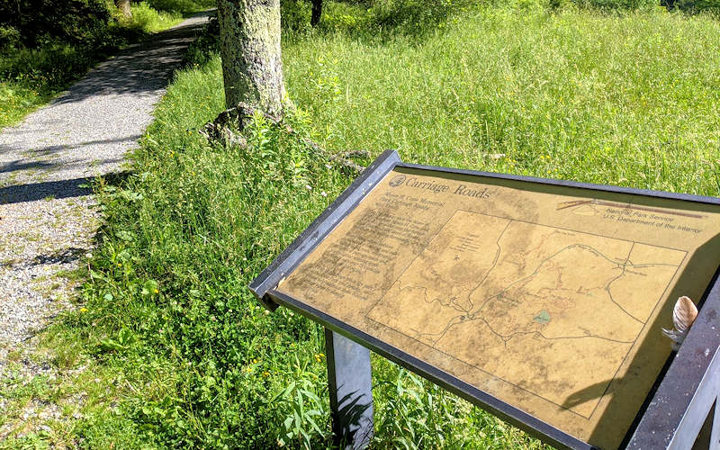
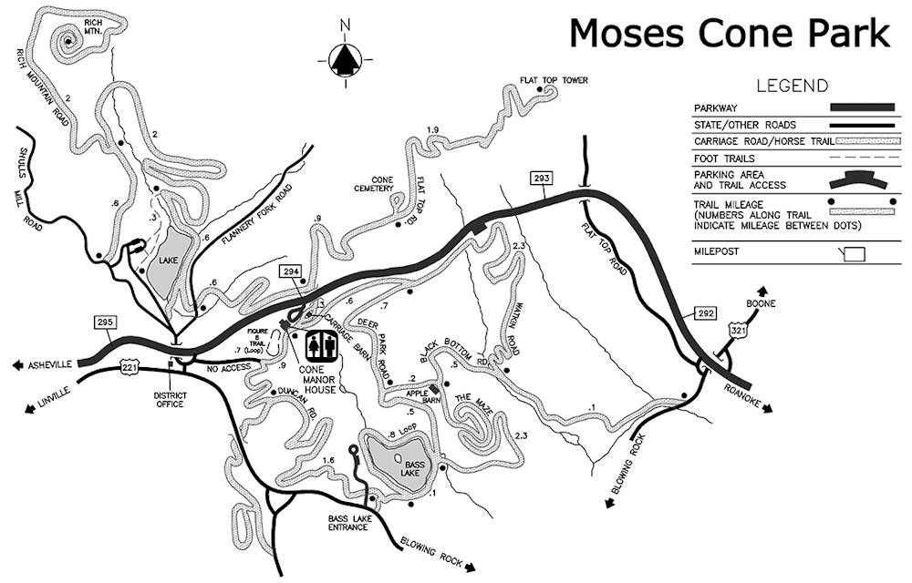
Moses Cone Park has three parking areas. The Trout Lake parking area just off the Parkway (see directions below) is nearest the trailhead. From the parking area, walk up the road toward the exit to find the start of the main carriage road by a gate and a carriage roads informational sign.
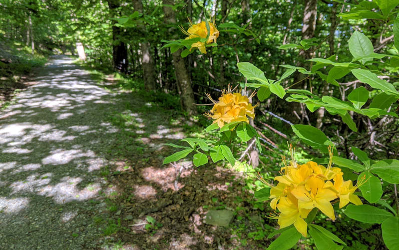
The beautiful hike takes you through open pastures and dense forests. As you approach the 4,370 foot summit, the trail circles the peak as it ascends ever so gently. Along the way, find wildflowers and plenty of rhododendron and mountain laurel.
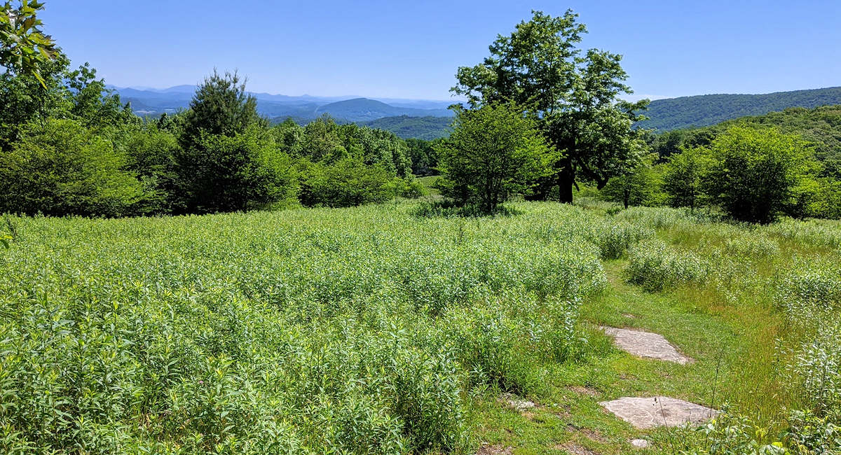
At the summit, find a small rock wall for a picnic and limited mountain views. As you descend the summit, look for a side trail to the right that takes you down through a very scenic field (photo at top of page) and reconnects you to the main trail.
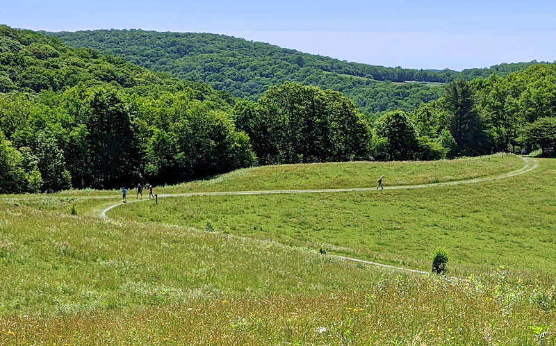
About 2 miles back down from the summit, take a left in an open field to descend a different route (photo above) – taking you by Trout Lake. That will add about 1.5 miles to your hike – so the round-trip total will be almost 7 miles). As you get near the lake, a side trail to the right takes you back to the parking area (look for signs).

If you park at the Manor House parking area, take the trail behind the Carriage House (restrooms) to the left to go underneath the Parkway. Then take a left to reach the Trout Lake to connect to the Rich Mountain Trail. This is about an 11-mile hike.
Directions from Sugar Mountain
The trailhead is about 13 miles from the main entrance of Sugar Mountain. As with many locations in the mountains, it’s not probably not listed on your GPS. So follow these directions:
- From the main entrance of Sugar Mountain, turn right onto NC 184 South and go 1.5 miles to the stoplight.
- At the stoplight for NC 105, turn left and drive north for 6.4 miles.
- Turn right onto Shulls Mill Road and drive 5.7 miles (paved but curvy) to the Blue Ridge Parkway. Just before you reach reach the Parkway and before Flannery Fork Rd, take a sharp left onto a one-way road. Currently, there is no sign at the start of this one way road that takes you by the lake and to the large parking area.
Moses Cone Park Trail Map
You share the wide trail with occasional horseback riders. No bikes are allowed. It’s a great spot for cross-country skiing during winter snows.
See our Moses Cone Park Guide for more info – plus guides to two nearby hikes: Flat Top Mountain and Bass Lake.